Usually 8’ Isn’t 4.6’
Elapsed time
8h 9m
Avg. speed
5.2kts
Distance
42.1nm
Moving time
--
Max. speed
-- kts
Brevard County, FL, USA
Dec 12, 2024 - Dec 12, 2024
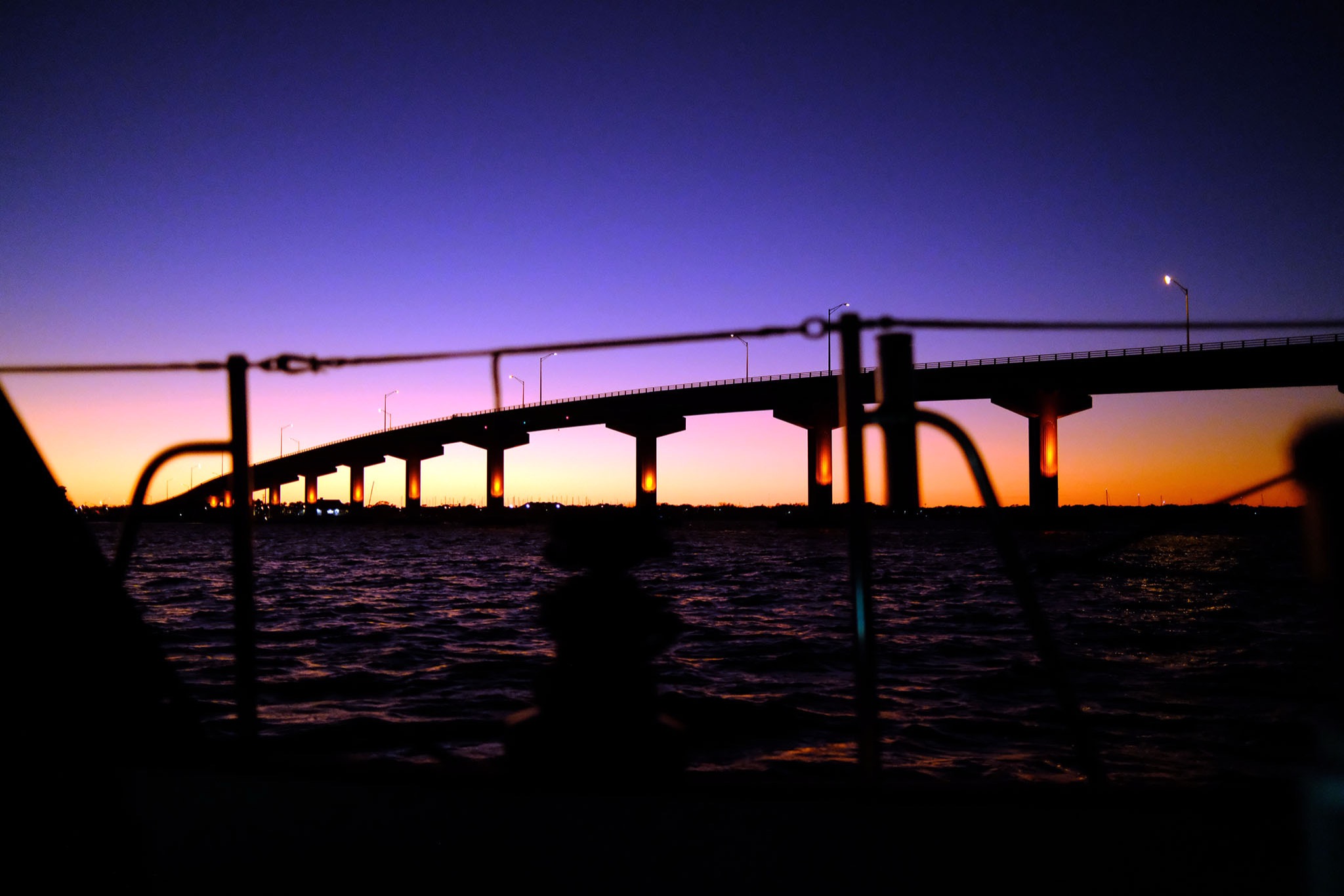
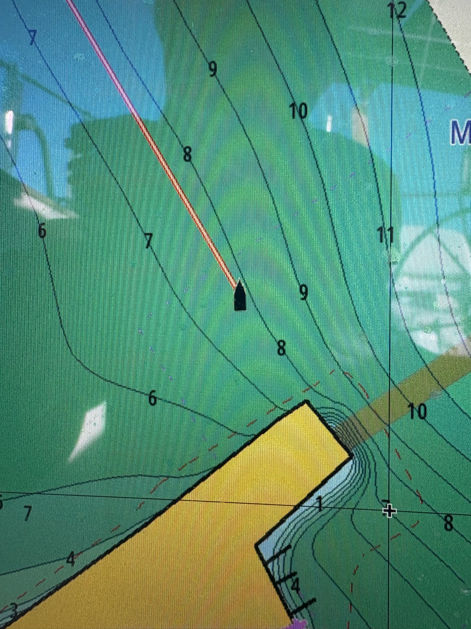
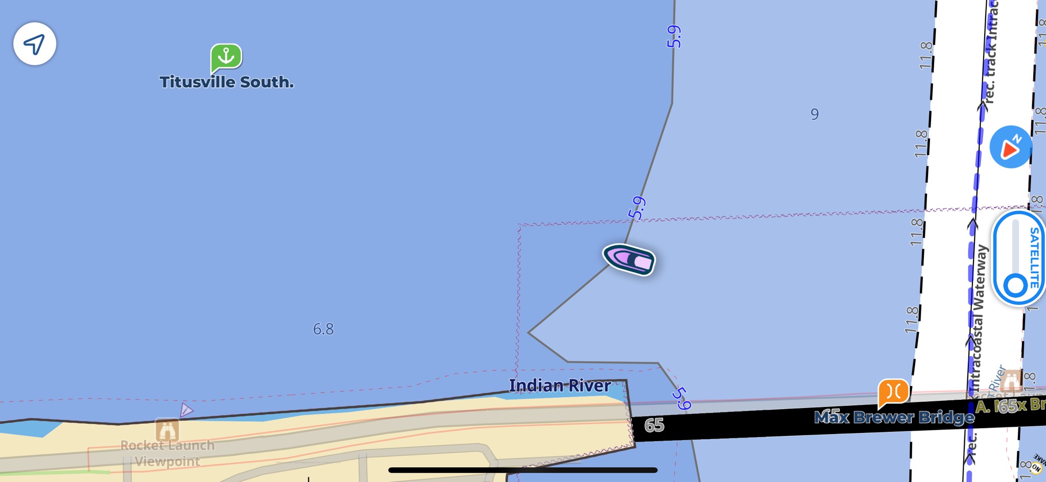
Last week I bought Navionics card for my chart plotter but I didn’t receive the card I ordered. When I returned it, the card I wanted was no longer in stock. Instead of waiting, I decided to upgrade C-Map since that is what I have used for the past four years and I had been generally happy with the charts. The Reveal+ has much more detail than my previous version. Tonight, as I was coming into an anchorage that should protect me from north and northeast winds, I ran aground in a spot where my new fancy chart showed eight feet of water. Unfortunately, my depth sounder said 4.6’. I noticed that after I was stopped. Avemar draws 5’. @DamageControlSailing came over to assist and we tried pulling the mast over with the spinnaker halyard. Sput took my anchor out into deeper water and I tried to winch myself out. I didn’t move. BoatUS pulled me out later. Afterwards the captain said I was on a hump with 7-8’ all around the boat.


